(Build4People project partner during Definition Phase (2019-2021) and RD Phase (2021-2025)
WP#4 in a Nutshell
We link ecological aspects of urban green with social perspectives to increase sensitivity of Phnom Penh’s population for urban green infrastructure and its positive effects on the urban environment. Thereby, we relate to the concept of “Urban Green Infrastructure” (UGI) in Phnom Penh and its peri-urban areas contributing to an innovative city planning and understand UGI as a strategic planning approach that aims at developing networks of green and blue spaces in urban agglomerations or planning zones to deliver a wide range of ecosystem services as defined by the EC’s GI communication. The design, development, and implementation of UGI and an increased sensitivity of the population and the city administration to urban green infrastructure will contribute positively to the urban quality of life in Phnom Penh.
Rationale & Background
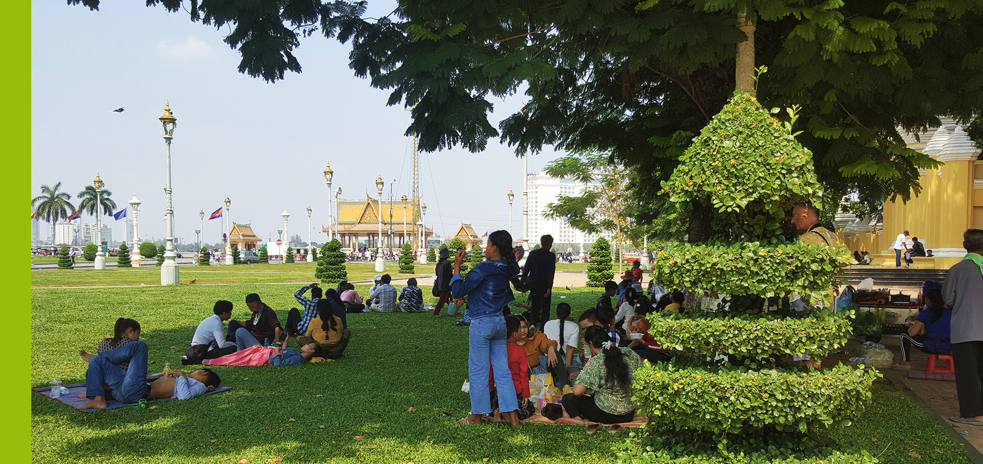
The fabric of Urban Green Infrastructure (UGI) such as parks, city forests, green roofs, creeks and streams as well as community gardens and other natural and semi-natural areas or environmental features provide a broad range of ecosystem services (ESS). Among them are urban heat mitigation, storm water infiltration, local food security, physical recreation, and psychological well-being of residents and visitors in example. The promotion of UGI requires a cross-disciplinary approach bringing together researchers in science, policy and planning.
The Phnom Penh Sustainable City Plan 2018-2030 acknowledges the importance of urban green and includes in section 5.2 the task to double the size of urban green in PP to a minimum of 2.2m² per person in 2030 (GGGI 2019).

Source: EU Environment Commission: https://ec.europa.eu/environment/nature/ecosystems/images/green_infra.jpg
Natural and semi-natural environment and other open spaces within city boundaries have been decreasing continuously in Phnom Penh. According to Lang et al. (2008) urban agglomerations can experience a rapid decline in both the quality and quantity of urban green spaces hence negatively affecting the urban green infrastructure. Inadequate urban planning can accelerate this process by unplanned densification of inner cities and spontaneous “leap-frog” development of urban agglomerations at their urban fringes. Urban fringes refer to the transition zone between the built-up area and the countryside, constituting the interface between the consolidated urban and rural areas. It is a zone of mixed land uses, where there is often competition of different land use types EEA (2017a). Unless proper importance is given to the urban green spaces, progressive urban planning and development will lead to a reduction in the overall quality of life in cities (WHO, 2017). Thus, a proper structural (spatial) analysis and functional evaluation of UGI, therefore, requires not only information of its relative spatial quantity in any given area of a municipality, but also a closer examination of UGS in terms of quality, multidimensional functionality and related ecosystem services, which can be derived from its land cover composition and spatial structure.
As a research result of the thorough comprehensive literature review during the definition phase and technical test-runs concerning the satellite index calculation, it was concluded that with some local modifications, the urban neighbourhood green index (UNGI) introduced by (Gupta et al., 2012) is the most suitable analytical tool for investigating Phnom Penh’s UGI. This is true particularly because of its applicability by local administrations, another goal of the project. The main modification foreseen the change of the entry dataset of urban green and will assign different weights per indicator according to the leading expert interviews of the Phnom Penh Municipality and other local stakeholders.

Source: Own Design WP#4
WP#4 Guiding research question
The guiding overall research questions is twofold and divided into sub-questions subsequently as follows:
What is the actual situation, role and function of urban green (infrastructure) in sustainable urban planning in Phnom Penh and how does transdisciplinary, geospatial and citizen science research methods of B4P (WP#4) can improve urban quality of life in Phnom Penh?
Research Sub-Questions
- What are the spatial dimension, distribution and the inter-connection of urban green space (infrastructure) in the Khans and Sangkats of the Phnom Penh Municipality (core city) and its urban fringe?
- Is there a spatial relation concerning urban green space distribution and detectable critical hotspots areas of urban heat islands (WP#5) in the Phnom Penh Municipality and the attached urban hinterland or peri-urban area?
- How can we employ modern IT communication devices to gain people centered perspective of perceived greenness in relation to urban quality of life using a transdisciplinary approach by combining different scientific disciplines (WP#1, WP#4 and WP#5)
- How can we link objective and subjective data gained from UQoL survey and urban green space analysis and relate those to urban quality of life using a statistical model approach?
WP#4 Aim and sub-aims of the research and development phase
The main aim of the research phase is to map and to assess urban green (infrastructure), with particular regards to parameters of quality and connectivity of UGS using a geospatial approach in Phnom Penh. Linking the objective spatial results to subjective citizen’s perception and gaining insides into UQoL indicators is among the main milestones and goals of the research phase as follows:
1. Compute and operationalize Urban Neighbourhood Green Index (UNGI) parameter to evaluate urban green infrastructure as an important subject for urban planning
2. Developing recommendation maps to stimulate the concept of urban green infrastructure within sustainable urban planning processes in order to enhance Phnom Penh‘s resilience through landscape diversity in times of climate change.
3. Spatial calibration and refinement of the urban green neighbourhood index for open space planning in PNH.
4. Derive a statistical model to compare the cause and effect from objective and subjective data regarding UQoL.
Milestones of the Research and Development Phase
- Conceptualisation of Urban Neighbourhood Green Index (UNGI) and data collection for the UNGI
- UNGI parameter operationalisation and spatial verification
- Analysis and application of UNGI for assessing selected neighbourhoods’
- Integration of other UQoL parameters into UNGI
Outlook
- Understanding the spatial dimension of the UGS in Phnom Penh concerning 4 parameters (amount of green, type of green, built-up density and height of structures)
- Transdisciplinary understanding of UNGI and advertising the concept of urban green infrastructure among urban planning stakeholders in Phnom Penh
- Informed planning decisions can be taken, as UNGI support, monitoring urban green module integrated into Buld4People Toolbox for Sustainable Neighbourhoods and Development
- Improved assessment of UNGI is enabled, highlighting challenges and opportunities in urban planning processes.
WP#4 is implemented jointly by HNEE (Hochschule für nachhaltige Entwicklung Eberswalde) and the Royal University of Agriculture (RUA) in the Kingdom of Cambodia.
References
EEA, Europe Environment Agency (2017a). Green Infrastructure and Flood Management: Promoting cost-efficient flood risk reduction via green infrastructure solutions.
GGGI, Global Green Growth Institute (2019). Phnom Penh Sustainable City Plan 2018-2030. Phnom Penh.
Gupta, K., Kumar, P., Pathan, S. K., & Sharma, K. P. (2012). Urban Neighbourhood Green Index – A measure of green spaces in urban areas. Landscape and Urban Planning, 105, 325–335.
Lang, S., Schöpfer, E., Hölbling, D., Blaschke, T., Moeller, M., Jekel, T., & Kloyber, E. (2008). Quantifying and Qualifying Urban Green: by Integrating Remote Sensing, GIS, and Social Science Method. In I. Petrosillo (Ed.), Use of landscape sciences for the assessment of environmental security: Results of the NATO/CCMS Pilot Study on the Use of Landscape Sciences for Environmental Assessment, 2001-2006 / edited by Irene Petrosillo … [et al.] (pp. 93–105). Dordrecht, London: Springer.
WHO, Regional Office for Europe. (2017). Urban green spaces: a brief for action.
Build4People RD Phase Milestone WP#4 R1: Updated bibliographic research and literature
CONTACT
HNEE • Eberswalde University for Sustainable Development • Faculty of Forest and Environment Alfred-Möller-Str. 1 • 16225 Eberswalde • Germany
WP#4 Leader: Prof. Dr. Jan Peter Mund (Jan-Peter.Mund@hnee.de)
WP#4 Research Associate: Gulam Mohiuddin (Gulam.Mohiuddin@hnee.de)
RUA • Royal University of Agriculture
Local Coordinator: Dr. Sanara Hor, Dean of Faculty of Land Management and Land Administration (FLMLA)
