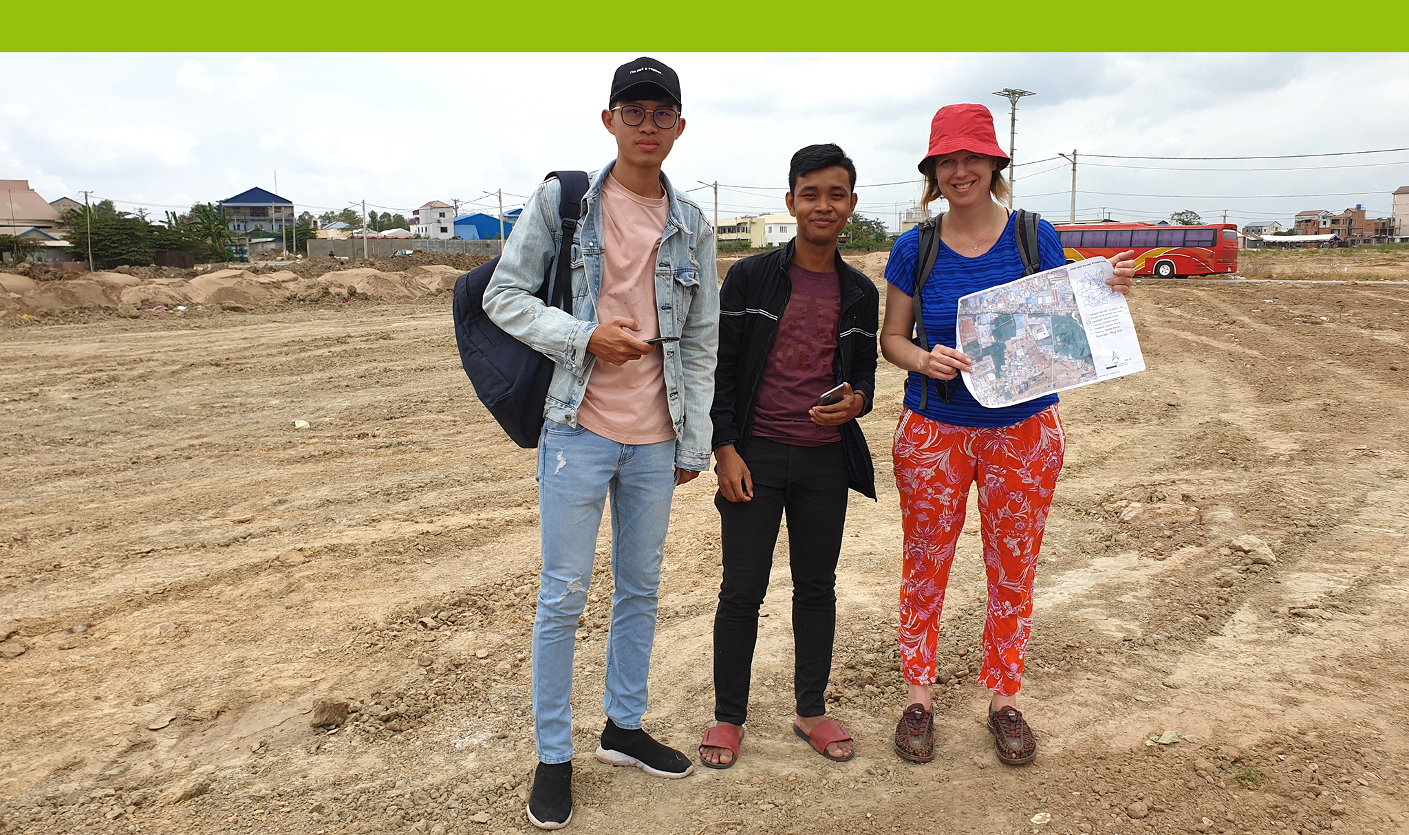
During field research in March 2020, our team, WP4 Urban Green as part of the Build4People project, surveyed and verified 630 out of proposed 724 “ground-truth points” randomly distributed over the city of Phnom Penh, Cambodia, testing the performance of an innovative mobile app. A ground truth point is a physically surveyed location that is reconciled to satellite data.

One of our main objectives is the preparation of a semi-automated land-cover classification for the municipality of Phnom Penh using very-high-resolution satellite images, ESA Sentinel 2A/2B.
To ensure the reliability of earth observation derived products, the execution of a spatial and statistical accuracy assessment on the ground is necessary, to quantify the classification, robustness and error rate.
A reliable and appropriate method is to use “ground truth points” for the spatial and interpretative classification quality control of the land-cover map.
Our team WP4 created attribute data forms and adjusted spatial data layers for the mobile app, according to the B4P project’s needs. Our team’s scientists from the University for Sustainable Development Eberswalde (HNEE) and the Royal University of Agriculture (RUA) in Phnom Penh tested these settings and adjusted them as required. Six senior students from RUA then conducted a week of field research, verifying 630 out of 724 ground-truth points. In addition, the research team from HNEE wrote a handbook that included a catalogue of different land-cover types to ensure a uniform mapping methodology and a common understanding of the selected land-cover types. We then transferred the mapped points to an online database, accessible from Cambodia and Eberswalde using geospatial information software, QGIS 3.4 and the INPUT App to integrate the data into the land-cover classification.

Helpfully, the “INPUT App” developed by Lutra Consulting is open source technology and offers seamless synchronisation between the app, the Mergin cloud server and the QGIS environment.